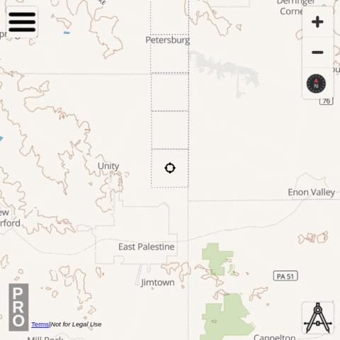
The Public Land Survey System (PLSS) is a way of subdividing and describing land in the United States. The PLSS typically divides land into 6-mile-square townships. Townships are subdivided into 36 one-mile- square sections.
i-Hunting app includes Plss Section hunt layer under Pennsylvania -> PLSS. To enable this layer, please use the following taps:
|
|
Available Attributes for Plss Section , Pennsylvania
- Firstdivisionno
- Name