iPhone Hunting GPS & Land Ownership Maps
The i-Hunting GPS Maps App for iOS supports both iPhone and iPad and includes support for offline land ownership and topo maps, GPS Auto Follow, support for routes and waypoints editing, creation and sharing. The application uses vector maps for all hunting layers - including but not limited to land ownership, topo elevation contours, hunting districts/WMAs, animal distribution, pubilc lands. The vector layers take adavantage of hardware acceleration supported by Apple Custom GPU with its A11 bionic chip. This allows us to render over 100.000 features (parcels, hunting layers etc) per frame smoothly. i-Hunting is the first native iPhone application to take advantage of hardware accelearation supported by iOS.
Supported iOS Devices for Hunting Gps Maps
The i-Hunting application is supported on all devices running iOS 8.x and higher.
You can download the i-Hunting Gps Maps app for iPhone/iPad from the link below:
Hunting Gps Maps App Screenshots
 Hunting Land Ownership Maps |
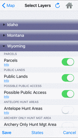 Hunting Gps Maps Layers |
iPhone Hunting GPS Maps Features
A detailed description of all features supported in the app is available on the Hunting Gps Maps app features page. Some of the most commonly used features by iPhone users are included below:
- Access Land Ownership Info (Owner name, Address etc)
- View Public Land, Private Parcels
- Configure Hunting Layers (incl. Restricted ares, WMAs Animal Distribution etc)
- Route manager specially designed for iPhone (For routes/way points shared via email use open in 'i-Hunting')
- Offline Masp storage on your iPhone or iPad
- Pixel accurate route editing/creation on your iPhone